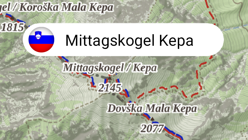
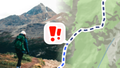
In the route planner and navigation for pedestrians and cyclists, you will now find warnings about difficult sections. So that you always know in advance whether there are passages along the way that could be beyond your abilities.
In the route planner and navigation for pedestrians and cyclists, you will now find warnings about difficult sections. So that you always know in advance whether there are passages along the way that could be beyond your abilities.
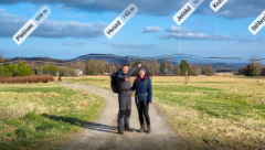
With HorizontAR, you can now also photograph the peaks, and you can save and share the photo. You can also easily find out the distance to the peak from you by tapping on its name. The feature is part of Mapy.com Premium, otherwise it is available 5× for free.
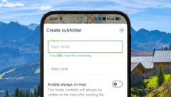
With Mapy.com Premium, you can now organize your saved points and routes in the My Mapy section into subfolders. This will give you an even better overview of your plans and trips.