
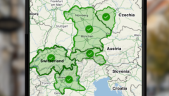
Downloaded offline maps now update automatically. You will have new hiking trails and cycle paths at hand without having to check for updates.
Downloaded offline maps now update automatically. You will have new hiking trails and cycle paths at hand without having to check for updates.

In Mapy.com, you will now find a denser network of hiking trails in Austria – roughly 145 thousand kilometers of routes instead of the original 95 thousand. You can thus plan your trips to our neighbors with even greater confidence.
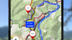
With the new PRO Route Planner feature, you can edit your planned route by drawing with your finger directly on the map. The feature is part of Mapy.com Premium, you can try it 5 times for free.